Driveway to Llangibby Castle Farm
Introduction
The photograph on this page of Driveway to Llangibby Castle Farm by Philip Halling as part of the Geograph project.
The Geograph project started in 2005 with the aim of publishing, organising and preserving representative images for every square kilometre of Great Britain, Ireland and the Isle of Man.

There are currently over 7.5m images from over 14,400 individuals and you can help contribute to the project by visiting https://www.geograph.org.uk
Driveway to Llangibby Castle Farm
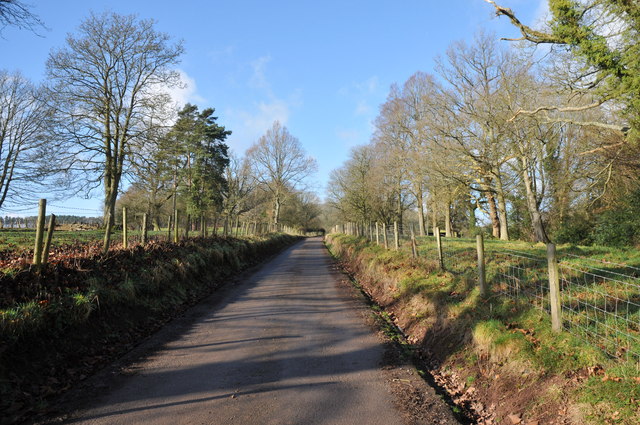
Image: © Philip Halling Taken: 12 Feb 2011
My understanding is that there was once a country house at Llangibby and this driveway was part of an avenued entrance. An avenue of trees continues to the River Usk.
Images are licensed for reuse under creativecommons.org/licenses/by-sa/2.0
Image Location
Latitude
51.671834
Longitude
-2.910979