Bernard Shaw House
Introduction
The photograph on this page of Bernard Shaw House by Robin Webster as part of the Geograph project.
The Geograph project started in 2005 with the aim of publishing, organising and preserving representative images for every square kilometre of Great Britain, Ireland and the Isle of Man.

There are currently over 7.5m images from over 14,400 individuals and you can help contribute to the project by visiting https://www.geograph.org.uk
Bernard Shaw House
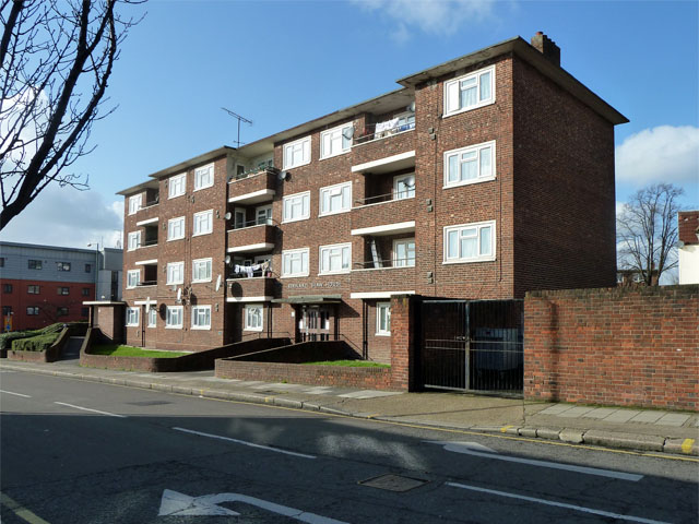
Image: © Robin Webster Taken: 12 Feb 2011
The strange thing about this small estate of probably council-built flats is that there is another Bernard Shaw House on the other side of the road, in similar style.
Images are licensed for reuse under creativecommons.org/licenses/by-sa/2.0
Image Location
Latitude
51.540507
Longitude
-0.257218