Signpost at the edge of Darras Hall
Introduction
The photograph on this page of Signpost at the edge of Darras Hall by Oliver Dixon as part of the Geograph project.
The Geograph project started in 2005 with the aim of publishing, organising and preserving representative images for every square kilometre of Great Britain, Ireland and the Isle of Man.

There are currently over 7.5m images from over 14,400 individuals and you can help contribute to the project by visiting https://www.geograph.org.uk
Signpost at the edge of Darras Hall
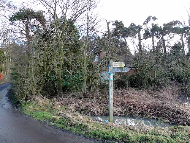
Image: © Oliver Dixon Taken: 14 Feb 2011
Signs indicating the Reivers Cycle Route, Regional Route 10 of the National Cycle Network have been affixed to this signpost. Woe betide any cyclist who attempts to navigate the route west of here - one of the worst in the entire National Network. The first house in the up-market estate of Darras Hall can be seen through the trees.
Images are licensed for reuse under creativecommons.org/licenses/by-sa/2.0
Image Location
Latitude
55.036107
Longitude
-1.778418