Donkeying Around
Introduction
The photograph on this page of Donkeying Around by Michael Westley as part of the Geograph project.
The Geograph project started in 2005 with the aim of publishing, organising and preserving representative images for every square kilometre of Great Britain, Ireland and the Isle of Man.

There are currently over 7.5m images from over 14,400 individuals and you can help contribute to the project by visiting https://www.geograph.org.uk
Donkeying Around
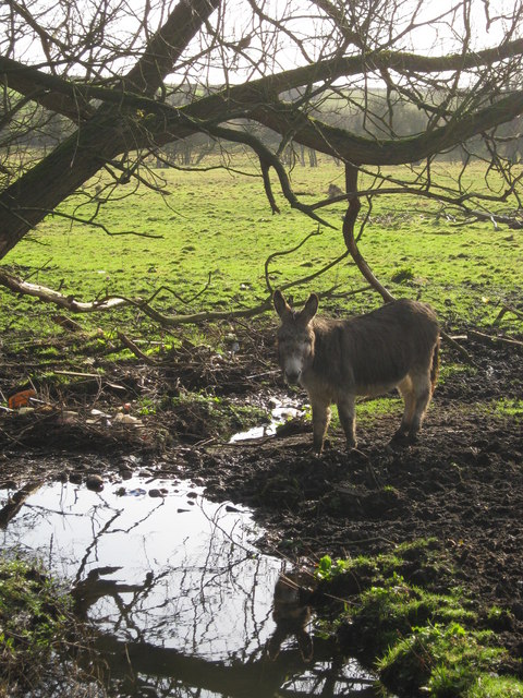
Image: © Michael Westley Taken: 12 Feb 2011
A donkey takes a drink from the stream that crosses Springfield Road and leads into Langley Brook.
Images are licensed for reuse under creativecommons.org/licenses/by-sa/2.0
Image Location
Latitude
52.56298
Longitude
-1.781039