Otterton Mill
Introduction
The photograph on this page of Otterton Mill by Chris Allen as part of the Geograph project.
The Geograph project started in 2005 with the aim of publishing, organising and preserving representative images for every square kilometre of Great Britain, Ireland and the Isle of Man.

There are currently over 7.5m images from over 14,400 individuals and you can help contribute to the project by visiting https://www.geograph.org.uk
Otterton Mill
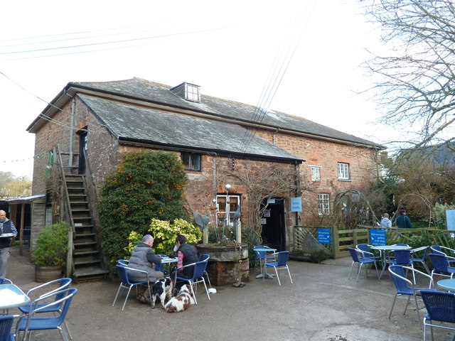
Image: © Chris Allen Taken: 12 Feb 2011
Otterton Mill now includes galleries and a restaurant as well as one working set of stones. There are two wheels that originally drove four sets of stones but only one wheel and one set of stones are workable.
Images are licensed for reuse under creativecommons.org/licenses/by-sa/2.0
Image Location
Latitude
50.659538
Longitude
-3.303377