Public conveniences on the Dart Valley Trail
Introduction
The photograph on this page of Public conveniences on the Dart Valley Trail by Tim Heaton as part of the Geograph project.
The Geograph project started in 2005 with the aim of publishing, organising and preserving representative images for every square kilometre of Great Britain, Ireland and the Isle of Man.

There are currently over 7.5m images from over 14,400 individuals and you can help contribute to the project by visiting https://www.geograph.org.uk
Public conveniences on the Dart Valley Trail
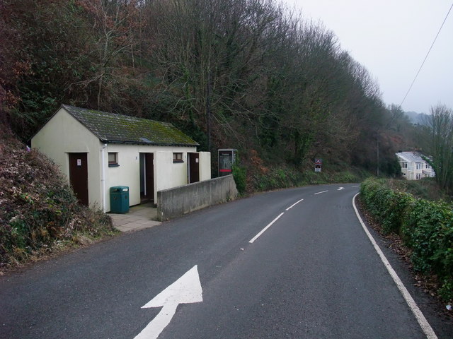
Image: © Tim Heaton Taken: 9 Feb 2011
After leaving its trackside position along the Paignton and Dartmouth Steam Railway, the Trail follows a short section of road before heading uphill into the woods.
Images are licensed for reuse under creativecommons.org/licenses/by-sa/2.0
Image Location
Latitude
50.36104
Longitude
-3.572855