Pin Hill
Introduction
The photograph on this page of Pin Hill by Oast House Archive as part of the Geograph project.
The Geograph project started in 2005 with the aim of publishing, organising and preserving representative images for every square kilometre of Great Britain, Ireland and the Isle of Man.

There are currently over 7.5m images from over 14,400 individuals and you can help contribute to the project by visiting https://www.geograph.org.uk
Pin Hill
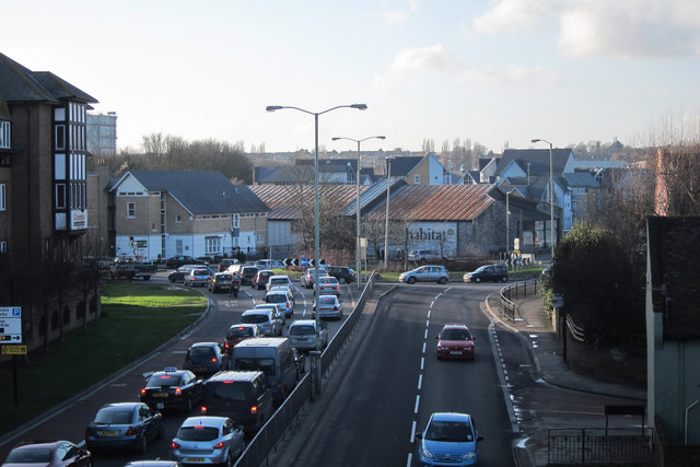
Image: © Oast House Archive Taken: 12 Feb 2011
A28 main road around Canterbury town centre. Large roundabout at junction with Wincheap, Rheims Way and Castle Street. Viewed from footbridge between John Dane Gardens and Station Road East.
Images are licensed for reuse under creativecommons.org/licenses/by-sa/2.0
Image Location
Latitude
51.274971
Longitude
1.074797