A20 near Hawkinge
Introduction
The photograph on this page of A20 near Hawkinge by Raimund Zozmann as part of the Geograph project.
The Geograph project started in 2005 with the aim of publishing, organising and preserving representative images for every square kilometre of Great Britain, Ireland and the Isle of Man.

There are currently over 7.5m images from over 14,400 individuals and you can help contribute to the project by visiting https://www.geograph.org.uk
A20 near Hawkinge
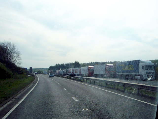
Image: © Raimund Zozmann Taken: 15 Apr 2009
Lorries queueing for the Dover Ferries at the A20 near Hawkinge. Due to a strike of French fishermen all French ports were blocked at Easter 2009. Image
Images are licensed for reuse under creativecommons.org/licenses/by-sa/2.0
Image Location
Latitude
51.111145
Longitude
1.183506