River Arun
Introduction
The photograph on this page of River Arun by Nigel Mykura as part of the Geograph project.
The Geograph project started in 2005 with the aim of publishing, organising and preserving representative images for every square kilometre of Great Britain, Ireland and the Isle of Man.

There are currently over 7.5m images from over 14,400 individuals and you can help contribute to the project by visiting https://www.geograph.org.uk
River Arun
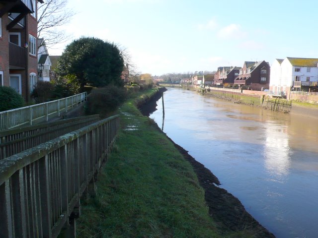
Image: © Nigel Mykura Taken: 12 Feb 2011
View south west from the south end of the bridge where the Causeway crosses the river in the very north east corner of the square.
Images are licensed for reuse under creativecommons.org/licenses/by-sa/2.0
Image Location
Latitude
50.852598
Longitude
-0.55675