Edge of Christchurch Gardens by Clarendon Avenue
Introduction
The photograph on this page of Edge of Christchurch Gardens by Clarendon Avenue by Robin Stott as part of the Geograph project.
The Geograph project started in 2005 with the aim of publishing, organising and preserving representative images for every square kilometre of Great Britain, Ireland and the Isle of Man.

There are currently over 7.5m images from over 14,400 individuals and you can help contribute to the project by visiting https://www.geograph.org.uk
Edge of Christchurch Gardens by Clarendon Avenue
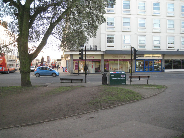
Image: © Robin Stott Taken: 8 Feb 2011
The position of pedestrian crossings, here and elsewhere around the gardens, creates desire lines that cut across the 19th century layout.
Images are licensed for reuse under creativecommons.org/licenses/by-sa/2.0
Image Location
Latitude
52.293741
Longitude
-1.536627