The Gables near Parc Seymour
Introduction
The photograph on this page of The Gables near Parc Seymour by Jaggery as part of the Geograph project.
The Geograph project started in 2005 with the aim of publishing, organising and preserving representative images for every square kilometre of Great Britain, Ireland and the Isle of Man.

There are currently over 7.5m images from over 14,400 individuals and you can help contribute to the project by visiting https://www.geograph.org.uk
The Gables near Parc Seymour
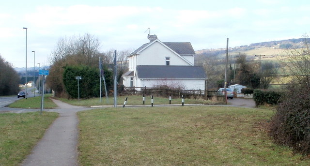
Image: © Jaggery Taken: 28 Jan 2011
House on the corner of the A48 and a country lane along the western edge of the village of Parc Seymour.
Images are licensed for reuse under creativecommons.org/licenses/by-sa/2.0
Image Location
Latitude
51.617344
Longitude
-2.863667