The Midshires Way near the A5004
Introduction
The photograph on this page of The Midshires Way near the A5004 by Jonathan Clitheroe as part of the Geograph project.
The Geograph project started in 2005 with the aim of publishing, organising and preserving representative images for every square kilometre of Great Britain, Ireland and the Isle of Man.

There are currently over 7.5m images from over 14,400 individuals and you can help contribute to the project by visiting https://www.geograph.org.uk
The Midshires Way near the A5004
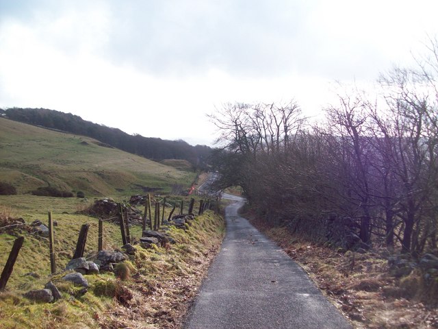
Image: © Jonathan Clitheroe Taken: 12 Feb 2011
Byway, old Roman Road and Long Distance footpath pictured here near the point where it forks off from the A5004 road. Buxton is straight ahead but out of view.
Images are licensed for reuse under creativecommons.org/licenses/by-sa/2.0
Image Location
Latitude
53.270533
Longitude
-1.936984