Watermead Country Park
Introduction
The photograph on this page of Watermead Country Park by Ashley Dace as part of the Geograph project.
The Geograph project started in 2005 with the aim of publishing, organising and preserving representative images for every square kilometre of Great Britain, Ireland and the Isle of Man.

There are currently over 7.5m images from over 14,400 individuals and you can help contribute to the project by visiting https://www.geograph.org.uk
Watermead Country Park
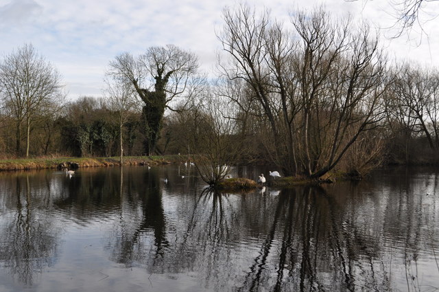
Image: © Ashley Dace Taken: 12 Feb 2011
There are 12 acres of lakes in this country park, it was created in the 1980s by flooding ex gravel pits. Now with the river Soar and the Grand Union canal passing through it is a haven for wildlife.
Images are licensed for reuse under creativecommons.org/licenses/by-sa/2.0
Image Location
Latitude
52.680662
Longitude
-1.109648