Bishopton and the Kilpatrick Hills
Introduction
The photograph on this page of Bishopton and the Kilpatrick Hills by Thomas Nugent as part of the Geograph project.
The Geograph project started in 2005 with the aim of publishing, organising and preserving representative images for every square kilometre of Great Britain, Ireland and the Isle of Man.

There are currently over 7.5m images from over 14,400 individuals and you can help contribute to the project by visiting https://www.geograph.org.uk
Bishopton and the Kilpatrick Hills
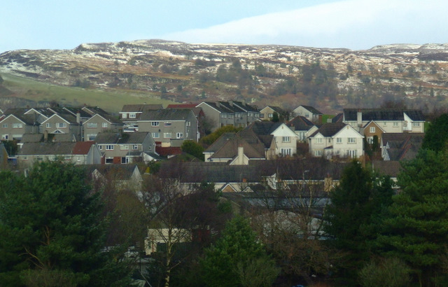
Image: © Thomas Nugent Taken: 7 Feb 2011
The houses are at Rossland on the east side of the village, the hills are north of Bowling on the other side of the Clyde. Viewed from a Glasgow bound train.
Images are licensed for reuse under creativecommons.org/licenses/by-sa/2.0
Image Location
Latitude
55.901282
Longitude
-4.496088