Blashford, Lin Brook
Introduction
The photograph on this page of Blashford, Lin Brook by Mike Faherty as part of the Geograph project.
The Geograph project started in 2005 with the aim of publishing, organising and preserving representative images for every square kilometre of Great Britain, Ireland and the Isle of Man.

There are currently over 7.5m images from over 14,400 individuals and you can help contribute to the project by visiting https://www.geograph.org.uk
Blashford, Lin Brook
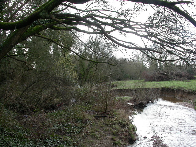
Image: © Mike Faherty Taken: 12 Feb 2011
Rising in the open forest, and joining the Avon nearby; seen flowing downstream.
Images are licensed for reuse under creativecommons.org/licenses/by-sa/2.0
Image Location
Latitude
50.856915
Longitude
-1.784711