Hadstock: Church Path
Introduction
The photograph on this page of Hadstock: Church Path by John Sutton as part of the Geograph project.
The Geograph project started in 2005 with the aim of publishing, organising and preserving representative images for every square kilometre of Great Britain, Ireland and the Isle of Man.

There are currently over 7.5m images from over 14,400 individuals and you can help contribute to the project by visiting https://www.geograph.org.uk
Hadstock: Church Path
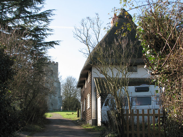
Image: © John Sutton Taken: 8 Feb 2011
Taken against the light in the middle of a bright February day. For more on the parish church of St Botolph, see http://www.britishlistedbuildings.co.uk/en-121984-church-of-st-botolph-hadstock and for a view towards this fine weatherboarded house from the churchyard see Image
Images are licensed for reuse under creativecommons.org/licenses/by-sa/2.0
Image Location
Latitude
52.079168
Longitude
0.27331