2011 : Church Street, Coleford near the top of the hill
Introduction
The photograph on this page of 2011 : Church Street, Coleford near the top of the hill by Maurice Pullin as part of the Geograph project.
The Geograph project started in 2005 with the aim of publishing, organising and preserving representative images for every square kilometre of Great Britain, Ireland and the Isle of Man.

There are currently over 7.5m images from over 14,400 individuals and you can help contribute to the project by visiting https://www.geograph.org.uk
2011 : Church Street, Coleford near the top of the hill
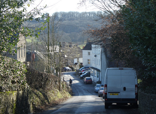
Image: © Maurice Pullin Taken: 8 Feb 2011
In the 18th and 19th centuries Coleford was a mining village. Now its main industries are farming and quarrying of Mendip limestone. "Apart from agriculture, the main industry in recent history (between 1700 - 1900), was coal mining. Originally a cottage industry, demand grew with the industrial revolution. The main pits in the area were Coalbarton pit, which closed in 1869 following a firedamp explosion which killed 9 miners, and Newbury and Mackintosh pits. Mackintosh opened in 1867 and closed in 1919, due to a failure of the pit cage rope. Suitable rope was in short supply because of the First World War. It was not possible to bring up the pit ponies without the cage working, so they had to be killed down in the mine. Newbury pit closed around 1927. Other pits in the area were at Vobster and Mells." The above was copied from: http://colefordsomerset.org/History/index.html
Images are licensed for reuse under creativecommons.org/licenses/by-sa/2.0
Image Location
Latitude
51.238058
Longitude
-2.448871