Flooding, Quoile Pondage, Downpatrick
Introduction
The photograph on this page of Flooding, Quoile Pondage, Downpatrick by Albert Bridge as part of the Geograph project.
The Geograph project started in 2005 with the aim of publishing, organising and preserving representative images for every square kilometre of Great Britain, Ireland and the Isle of Man.

There are currently over 7.5m images from over 14,400 individuals and you can help contribute to the project by visiting https://www.geograph.org.uk
Flooding, Quoile Pondage, Downpatrick
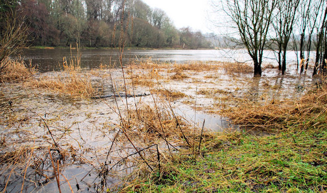
Image: © Albert Bridge Taken: 9 Feb 2011
Even short spells of heavy rain (as happened recently) can cause the Quoile to flood. This view is downstream near the Countryside Centre.
Images are licensed for reuse under creativecommons.org/licenses/by-sa/2.0
Image Location
Latitude
54.35055
Longitude
-5.699773