Valley leading to Osmington Mills
Introduction
The photograph on this page of Valley leading to Osmington Mills by DACP as part of the Geograph project.
The Geograph project started in 2005 with the aim of publishing, organising and preserving representative images for every square kilometre of Great Britain, Ireland and the Isle of Man.

There are currently over 7.5m images from over 14,400 individuals and you can help contribute to the project by visiting https://www.geograph.org.uk
Valley leading to Osmington Mills
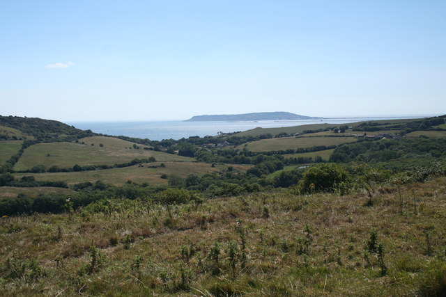
Image: © DACP Taken: 9 Aug 2006
From the Ridgeway looking down towards Osmington Mills and across Weymouth Bay to Portland
Images are licensed for reuse under creativecommons.org/licenses/by-sa/2.0
Image Location


Leaflet Map data © OpenStreetMap
Latitude
50.637989
Longitude
-2.374685