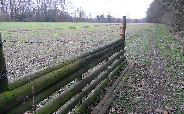
Footpath at Tooley's Croft
Introduction
The photograph on this page of Footpath at Tooley's Croft by Graham Horn as part of the Geograph project.
The Geograph project started in 2005 with the aim of publishing, organising and preserving representative images for every square kilometre of Great Britain, Ireland and the Isle of Man.
There are currently over 7.5m images from over 14,400 individuals and you can help contribute to the project by visiting https://www.geograph.org.uk

Image: © Graham Horn Taken: 5 Feb 2011
Tooley's Croft is the woodland to the right, and the footpath runs along the edge of that with arable land to the left. To our right is a path out of the private woods that seems to have been used by horses, and at its end, to our left, is this short section of wooden fence. I am speculating that the local hunt rides up the path and jumps this fence before going across the arable land. The wires have been put in place to stop that happening whilst the crop is growing. Any other ideas?
Image Location


