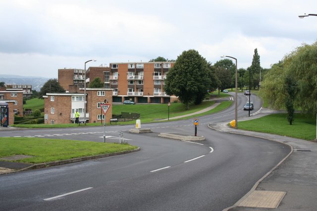
Hurlfield Road / Gleadless Road
Introduction
The photograph on this page of Hurlfield Road / Gleadless Road by David Morris as part of the Geograph project.
The Geograph project started in 2005 with the aim of publishing, organising and preserving representative images for every square kilometre of Great Britain, Ireland and the Isle of Man.
There are currently over 7.5m images from over 14,400 individuals and you can help contribute to the project by visiting https://www.geograph.org.uk

Image: © David Morris Taken: 26 Aug 2006
This is the junction at the bottom of Hurlfield Road and Gleadless Road. Hurlfield Road drops down the valley side via a 1 in 6 gradient to join up with Gleadless Road which continues NE towards Heeley. Notice the newer looking lower brickwork to the house immediately behind the "Give Way" sign (centre, left). This was necessary a few years ago when the brakes of road roller were release by vandals as it was parked a little way up the hill behind the photographer.

