2011 : West from the Imber Range Perimeter Path
Introduction
The photograph on this page of 2011 : West from the Imber Range Perimeter Path by Maurice Pullin as part of the Geograph project.
The Geograph project started in 2005 with the aim of publishing, organising and preserving representative images for every square kilometre of Great Britain, Ireland and the Isle of Man.

There are currently over 7.5m images from over 14,400 individuals and you can help contribute to the project by visiting https://www.geograph.org.uk
2011 : West from the Imber Range Perimeter Path
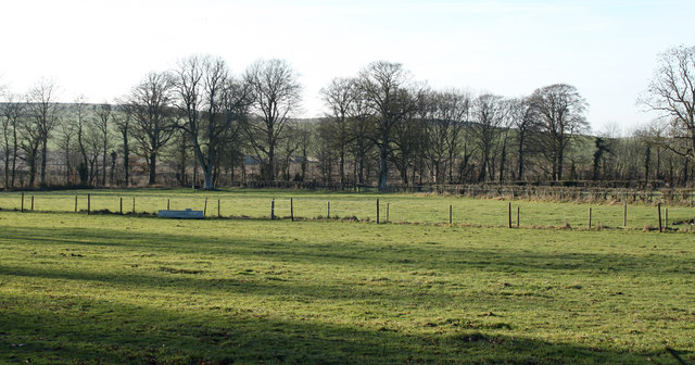
Image: © Maurice Pullin Taken: 30 Jan 2011
The perimeter path does not follow the range boundary at this point.
Images are licensed for reuse under creativecommons.org/licenses/by-sa/2.0
Image Location
Latitude
51.194458
Longitude
-2.098551