College Farm southeast of Bearley
Introduction
The photograph on this page of College Farm southeast of Bearley by Robin Stott as part of the Geograph project.
The Geograph project started in 2005 with the aim of publishing, organising and preserving representative images for every square kilometre of Great Britain, Ireland and the Isle of Man.

There are currently over 7.5m images from over 14,400 individuals and you can help contribute to the project by visiting https://www.geograph.org.uk
College Farm southeast of Bearley
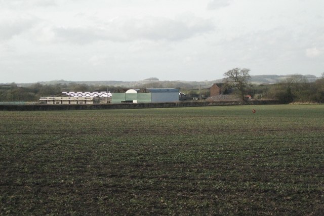
Image: © Robin Stott Taken: 3 Feb 2011
Seen from the bridleway that is a continuation of Ash Lane. The light-coloured pattern is a barn under construction. The A3400 runs behind the hedge. The bump on the skyline is probably Bannam's Wood southeast of Morton Bagot in SP1164.
Images are licensed for reuse under creativecommons.org/licenses/by-sa/2.0
Image Location
Latitude
52.239717
Longitude
-1.746606