Footpath and remains of a railway viaduct, Brynmawr
Introduction
The photograph on this page of Footpath and remains of a railway viaduct, Brynmawr by Jaggery as part of the Geograph project.
The Geograph project started in 2005 with the aim of publishing, organising and preserving representative images for every square kilometre of Great Britain, Ireland and the Isle of Man.

There are currently over 7.5m images from over 14,400 individuals and you can help contribute to the project by visiting https://www.geograph.org.uk
Footpath and remains of a railway viaduct, Brynmawr
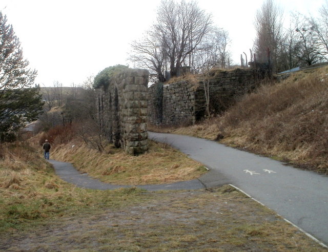
Image: © Jaggery Taken: 3 Feb 2011
The fragment of a railway viaduct is located on the south side of Warwick Road, about 250 metres west of the site of the demolished Brynmawr railway station.
Images are licensed for reuse under creativecommons.org/licenses/by-sa/2.0
Image Location
Latitude
51.796217
Longitude
-3.180301