Clydach House, Brynmawr
Introduction
The photograph on this page of Clydach House, Brynmawr by Jaggery as part of the Geograph project.
The Geograph project started in 2005 with the aim of publishing, organising and preserving representative images for every square kilometre of Great Britain, Ireland and the Isle of Man.

There are currently over 7.5m images from over 14,400 individuals and you can help contribute to the project by visiting https://www.geograph.org.uk
Clydach House, Brynmawr
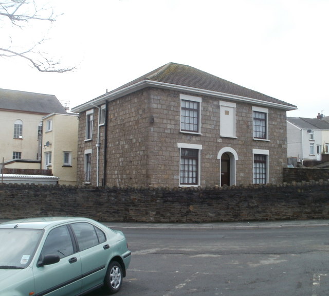
Image: © Jaggery Taken: 3 Feb 2011
Detached house on the corner of Davies Street and Bailey Street. Brynmawr is stated to be the highest town in Wales, at elevations between 1100 to 1500 feet above sea level. Clydach House, near the town centre, is 353 metres (about 1160 feet) above sea level.
Images are licensed for reuse under creativecommons.org/licenses/by-sa/2.0
Image Location
Latitude
51.798972
Longitude
-3.174572