Salfords Bridge
Introduction
The photograph on this page of Salfords Bridge by Ian Capper as part of the Geograph project.
The Geograph project started in 2005 with the aim of publishing, organising and preserving representative images for every square kilometre of Great Britain, Ireland and the Isle of Man.

There are currently over 7.5m images from over 14,400 individuals and you can help contribute to the project by visiting https://www.geograph.org.uk
Salfords Bridge
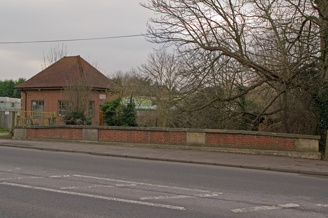
Image: © Ian Capper Taken: 29 Jan 2011
Bridge where the A23 Brighton Road crosses Salfords Stream. The pumping station dates from 1938 and was originally built by the Dorking and Horley Rural District Council, the local authority at the time.
Images are licensed for reuse under creativecommons.org/licenses/by-sa/2.0
Image Location
Latitude
51.204769
Longitude
-0.167694