"Hartlid" manhole cover, Bangor
Introduction
The photograph on this page of "Hartlid" manhole cover, Bangor by Albert Bridge as part of the Geograph project.
The Geograph project started in 2005 with the aim of publishing, organising and preserving representative images for every square kilometre of Great Britain, Ireland and the Isle of Man.

There are currently over 7.5m images from over 14,400 individuals and you can help contribute to the project by visiting https://www.geograph.org.uk
"Hartlid" manhole cover, Bangor
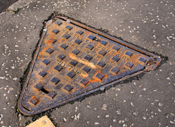
Image: © Albert Bridge Taken: 4 Feb 2011
See Image Another triangular cover from the Hartley Sons & Co foundry, Stoke-on-Trent. Similar but not identical. The previous one carried the name “Mute”. This one is a “Hartlid”. Further information about the foundry’s history welcomed. On the Clandeboye Road just inward of Inglewood Park.
Images are licensed for reuse under creativecommons.org/licenses/by-sa/2.0
Image Location
Latitude
54.651337
Longitude
-5.682962