Everton, lane junction
Introduction
The photograph on this page of Everton, lane junction by Mike Faherty as part of the Geograph project.
The Geograph project started in 2005 with the aim of publishing, organising and preserving representative images for every square kilometre of Great Britain, Ireland and the Isle of Man.

There are currently over 7.5m images from over 14,400 individuals and you can help contribute to the project by visiting https://www.geograph.org.uk
Everton, lane junction
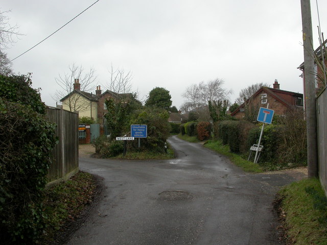
Image: © Mike Faherty Taken: 4 Feb 2011
The old heart of Everton village comprises three narrow, winding lanes: West, Central and East. Here, West to the left, Central straight ahead, and East out of sight to the right.
Images are licensed for reuse under creativecommons.org/licenses/by-sa/2.0
Image Location
Latitude
50.746408
Longitude
-1.588203