Narrow Quay, St Augustine's Reach, Bristol
Introduction
The photograph on this page of Narrow Quay, St Augustine's Reach, Bristol by Anthony O'Neil as part of the Geograph project.
The Geograph project started in 2005 with the aim of publishing, organising and preserving representative images for every square kilometre of Great Britain, Ireland and the Isle of Man.

There are currently over 7.5m images from over 14,400 individuals and you can help contribute to the project by visiting https://www.geograph.org.uk
Narrow Quay, St Augustine's Reach, Bristol
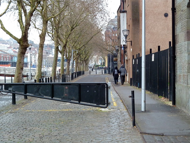
Image: © Anthony O'Neil Taken: 25 Jan 2011
Once Bristol's busiest commercial quayside, now largely given over to leisure and tourism. The Arnolfini arts centre is to the immediate right. The Floating Harbour here occupies the old course of the River Frome which used to be open to shipping well into the city centre but is now covered over by St Augustine's Parade.
Images are licensed for reuse under creativecommons.org/licenses/by-sa/2.0
Image Location


Leaflet Map data © OpenStreetMap
Latitude
51.450854
Longitude
-2.598606