Western end of Fortran Road, St Mellons Business Park
Introduction
The photograph on this page of Western end of Fortran Road, St Mellons Business Park by Jaggery as part of the Geograph project.
The Geograph project started in 2005 with the aim of publishing, organising and preserving representative images for every square kilometre of Great Britain, Ireland and the Isle of Man.

There are currently over 7.5m images from over 14,400 individuals and you can help contribute to the project by visiting https://www.geograph.org.uk
Western end of Fortran Road, St Mellons Business Park
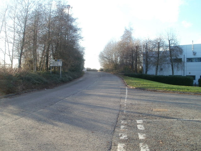
Image: © Jaggery Taken: 8 Jan 2011
Viewed from the corner of Fountain Lane, Fortran Road approaches the junction with Cypress Drive. The sign on the left shows Right for A48 and M4. Left for Melrose Park (¼) Otters Brook (½) Waters Edge (¾) Lakeside Retreat (¾). Distances are in fractions of a mile.
Images are licensed for reuse under creativecommons.org/licenses/by-sa/2.0
Image Location
Latitude
51.527357
Longitude
-3.088283