Eastern end of Wollaton Park
Introduction
The photograph on this page of Eastern end of Wollaton Park by Trevor Rickard as part of the Geograph project.
The Geograph project started in 2005 with the aim of publishing, organising and preserving representative images for every square kilometre of Great Britain, Ireland and the Isle of Man.

There are currently over 7.5m images from over 14,400 individuals and you can help contribute to the project by visiting https://www.geograph.org.uk
Eastern end of Wollaton Park
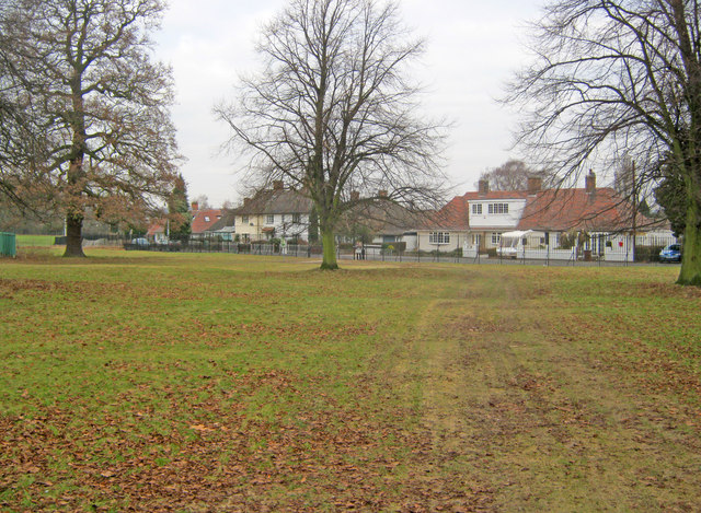
Image: © Trevor Rickard Taken: 29 Jan 2011
View north to housing on Sutton Passeys Crescent.
Images are licensed for reuse under creativecommons.org/licenses/by-sa/2.0
Image Location
Latitude
52.947646
Longitude
-1.196451