Mill Hill road on the left heading for Truleigh Hill and Youth Hostel
Introduction
The photograph on this page of Mill Hill road on the left heading for Truleigh Hill and Youth Hostel by Dave Spicer as part of the Geograph project.
The Geograph project started in 2005 with the aim of publishing, organising and preserving representative images for every square kilometre of Great Britain, Ireland and the Isle of Man.

There are currently over 7.5m images from over 14,400 individuals and you can help contribute to the project by visiting https://www.geograph.org.uk
Mill Hill road on the left heading for Truleigh Hill and Youth Hostel
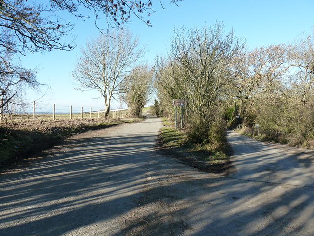
Image: © Dave Spicer Taken: 30 Jan 2011
From this point onwards to Truleigh Hill the road is classed as a Byway.
Images are licensed for reuse under creativecommons.org/licenses/by-sa/2.0
Image Location
Latitude
50.861418
Longitude
-0.27868