Gobbins Brae, Islandmagee
Introduction
The photograph on this page of Gobbins Brae, Islandmagee by Albert Bridge as part of the Geograph project.
The Geograph project started in 2005 with the aim of publishing, organising and preserving representative images for every square kilometre of Great Britain, Ireland and the Isle of Man.

There are currently over 7.5m images from over 14,400 individuals and you can help contribute to the project by visiting https://www.geograph.org.uk
Gobbins Brae, Islandmagee
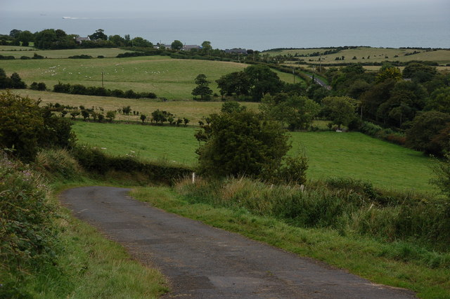
Image: © Albert Bridge Taken: 25 Aug 2006
The Gobbins Brae runs from the Middle Road to the Gobbins Road. In common with many other roads on Islandmagee it has some steep gradients and tight corners. This is the view (just before the steepest stretch) towards the Gobbins Road which can be seen climbing in the top right.
Images are licensed for reuse under creativecommons.org/licenses/by-sa/2.0
Image Location


Leaflet Map data © OpenStreetMap
Latitude
54.803645
Longitude
-5.706915