Stamps Meadow, Gloucester
Introduction
The photograph on this page of Stamps Meadow, Gloucester by Jonathan Billinger as part of the Geograph project.
The Geograph project started in 2005 with the aim of publishing, organising and preserving representative images for every square kilometre of Great Britain, Ireland and the Isle of Man.

There are currently over 7.5m images from over 14,400 individuals and you can help contribute to the project by visiting https://www.geograph.org.uk
Stamps Meadow, Gloucester
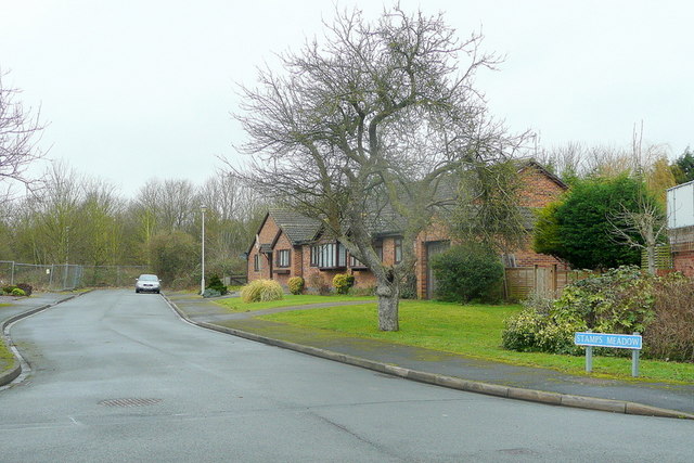
Image: © Jonathan Billinger Taken: 2 Feb 2011
A short cul-de-sac off the Tewkesbury Road between Kingsholm and Longford. If you switch to the "historic map" option - http://www.geograph.org.uk/submit_popup.php?t=Uo73jVMblXVhJmo73jVMjlXVbJvolulJL5405oMOOhMbatawNlXNbb - the original water meadows can be seen.
Images are licensed for reuse under creativecommons.org/licenses/by-sa/2.0
Image Location
Latitude
51.881647
Longitude
-2.240244