Road to Newlands
Introduction
The photograph on this page of Road to Newlands by Alan Murray-Rust as part of the Geograph project.
The Geograph project started in 2005 with the aim of publishing, organising and preserving representative images for every square kilometre of Great Britain, Ireland and the Isle of Man.

There are currently over 7.5m images from over 14,400 individuals and you can help contribute to the project by visiting https://www.geograph.org.uk
Road to Newlands
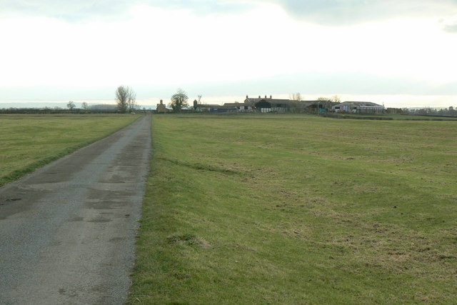
Image: © Alan Murray-Rust Taken: 24 Jan 2011
As can be seen, the road has been built straight to the farm and does not follow the grain of the ridge and furrow cultivation pattern. The farm is clearly Victorian, and the name Newlands might suggest that it was a creation of enclosures during the 19th century. However, in this parish the enclosures were much earlier, dating from the late 17th century.
Images are licensed for reuse under creativecommons.org/licenses/by-sa/2.0
Image Location
Latitude
52.898331
Longitude
-0.937803