The entry to Langar
Introduction
The photograph on this page of The entry to Langar by Alan Murray-Rust as part of the Geograph project.
The Geograph project started in 2005 with the aim of publishing, organising and preserving representative images for every square kilometre of Great Britain, Ireland and the Isle of Man.

There are currently over 7.5m images from over 14,400 individuals and you can help contribute to the project by visiting https://www.geograph.org.uk
The entry to Langar
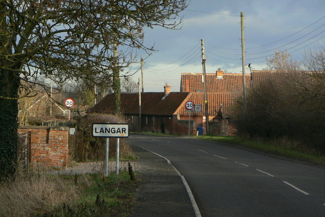
Image: © Alan Murray-Rust Taken: 24 Jan 2011
The western approach along Cropwell Road. The buildings to the right are Bottom House Farm with a fine group of buildings from the 18th/early 19th centuries (and including some earlier structure) which as a group are Listed Grade II.
Images are licensed for reuse under creativecommons.org/licenses/by-sa/2.0
Image Location
Latitude
52.902369
Longitude
-0.926999