West Court Farm (2)
Introduction
The photograph on this page of West Court Farm (2) by David Anstiss as part of the Geograph project.
The Geograph project started in 2005 with the aim of publishing, organising and preserving representative images for every square kilometre of Great Britain, Ireland and the Isle of Man.

There are currently over 7.5m images from over 14,400 individuals and you can help contribute to the project by visiting https://www.geograph.org.uk
West Court Farm (2)
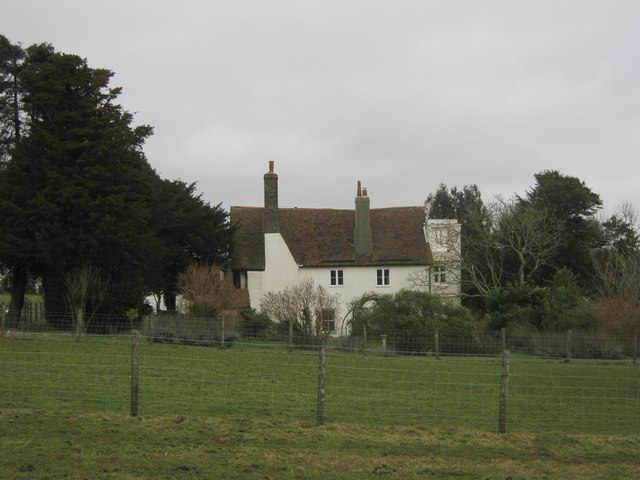
Image: © David Anstiss Taken: 30 Jan 2011
Grade II* Listed farmhouse rebuilt in the 16th Century. As seen from a footpath towards Halfway Street. See http://www.britishlistedbuildings.co.uk/en-178615-west-court-shepherdswell-with-coldred for more details about the building.
Images are licensed for reuse under creativecommons.org/licenses/by-sa/2.0
Image Location


Leaflet Map data © OpenStreetMap
Latitude
51.186465
Longitude
1.215176