Crowood Lane
Introduction
The photograph on this page of Crowood Lane by Colin Smith as part of the Geograph project.
The Geograph project started in 2005 with the aim of publishing, organising and preserving representative images for every square kilometre of Great Britain, Ireland and the Isle of Man.

There are currently over 7.5m images from over 14,400 individuals and you can help contribute to the project by visiting https://www.geograph.org.uk
Crowood Lane
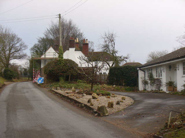
Image: © Colin Smith Taken: 1 Feb 2011
Residential lane leading north-east out of the Kennet Valley village of Ramsbury. www.ramsbury.org
Images are licensed for reuse under creativecommons.org/licenses/by-sa/2.0
Image Location
Latitude
51.447113
Longitude
-1.599059