Entrance to gravel pit, east of Ashton Keynes
Introduction
The photograph on this page of Entrance to gravel pit, east of Ashton Keynes by Brian Robert Marshall as part of the Geograph project.
The Geograph project started in 2005 with the aim of publishing, organising and preserving representative images for every square kilometre of Great Britain, Ireland and the Isle of Man.

There are currently over 7.5m images from over 14,400 individuals and you can help contribute to the project by visiting https://www.geograph.org.uk
Entrance to gravel pit, east of Ashton Keynes
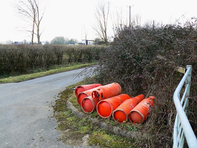
Image: © Brian Robert Marshall Taken: 31 Jan 2011
The minor road to Fridays Ham Lane is visible at the left. Beyond that is some kind of industrial operation probably associated with gravel extraction. The gate marks an entrance to a gravel pit although it does appear to be in regular use. The LPG (liquefied petroleum gas) containers have probably not just been dumped; more likely they will be collected. I believe there is quite a hefty deposit on containers like these.
Images are licensed for reuse under creativecommons.org/licenses/by-sa/2.0
Image Location
Latitude
51.65007
Longitude
-1.91164