Pond beside Evesham bypass
Introduction
The photograph on this page of Pond beside Evesham bypass by Philip Halling as part of the Geograph project.
The Geograph project started in 2005 with the aim of publishing, organising and preserving representative images for every square kilometre of Great Britain, Ireland and the Isle of Man.

There are currently over 7.5m images from over 14,400 individuals and you can help contribute to the project by visiting https://www.geograph.org.uk
Pond beside Evesham bypass
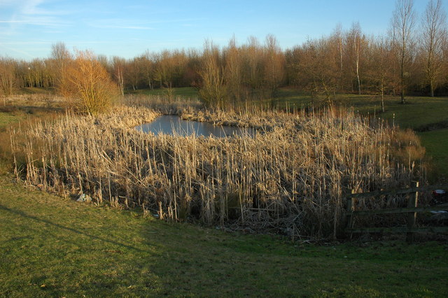
Image: © Philip Halling Taken: 30 Jan 2011
This pond beside the A46 Evesham bypass I assume created when the Vale Business Park was built.
Images are licensed for reuse under creativecommons.org/licenses/by-sa/2.0
Image Location
Latitude
52.076075
Longitude
-1.935754