Ouston Airfield (disused)
Introduction
The photograph on this page of Ouston Airfield (disused) by peter maddison as part of the Geograph project.
The Geograph project started in 2005 with the aim of publishing, organising and preserving representative images for every square kilometre of Great Britain, Ireland and the Isle of Man.

There are currently over 7.5m images from over 14,400 individuals and you can help contribute to the project by visiting https://www.geograph.org.uk
Ouston Airfield (disused)
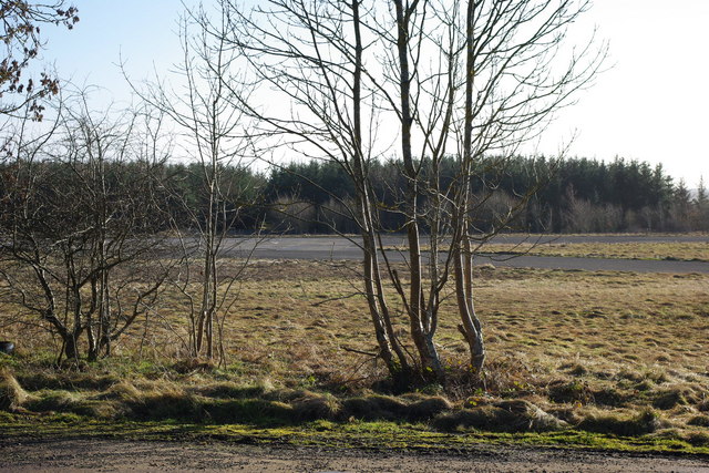
Image: © peter maddison Taken: 1 Feb 2011
Ouston opened on 10 March 1941 as a fighter sector HQ under no 13 Group to replace RAF Usworth. September 1947 saw the airfield close as an active airfield. The airfield was passed to the army and renamed Albemarle Barracks. Between 1 November 1965 and the end of March 1966 it became the north-east regional airport, while Newcastle Airport runway was being lengthened. Ouston is now the home of 39 Regiment Royal Artillery. The runway area is used by the police for driver training.
Images are licensed for reuse under creativecommons.org/licenses/by-sa/2.0
Image Location


Leaflet Map data © OpenStreetMap
Latitude
55.028601
Longitude
-1.870443