Risca : railway lines cross above Church Road
Introduction
The photograph on this page of Risca : railway lines cross above Church Road by Jaggery as part of the Geograph project.
The Geograph project started in 2005 with the aim of publishing, organising and preserving representative images for every square kilometre of Great Britain, Ireland and the Isle of Man.

There are currently over 7.5m images from over 14,400 individuals and you can help contribute to the project by visiting https://www.geograph.org.uk
Risca : railway lines cross above Church Road
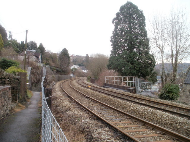
Image: © Jaggery Taken: 17 Jan 2011
Viewed from Sarn Place. The double-track Ebbw Valley Line crosses Church Road bridge. http://www.geograph.org.uk/photo/2238570 Risca & Pontymister station http://www.geograph.org.uk/photo/1749458 is about a mile (1.6 km) away.
Images are licensed for reuse under creativecommons.org/licenses/by-sa/2.0
Image Location
Latitude
51.613523
Longitude
-3.104785