Limehouse Cut
Introduction
The photograph on this page of Limehouse Cut by Derek Harper as part of the Geograph project.
The Geograph project started in 2005 with the aim of publishing, organising and preserving representative images for every square kilometre of Great Britain, Ireland and the Isle of Man.

There are currently over 7.5m images from over 14,400 individuals and you can help contribute to the project by visiting https://www.geograph.org.uk
Limehouse Cut
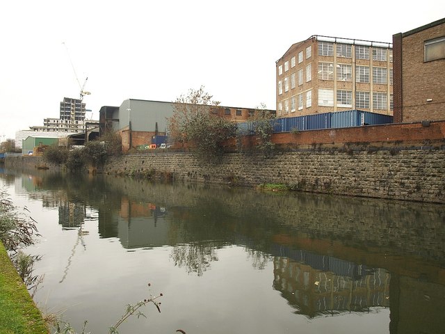
Image: © Derek Harper Taken: 12 Jan 2011
The canal (see also http://www.geograph.org.uk/search.php?i=18757043) runs across the southeast corner of the square. On the right is the four-storey building shown in Image, which is mapped as the Poplar Centre of Hackney College, but since 1994 it has been the home of the Limehouse Arts Foundation http://www.limehouseartsfoundation.org/pages/about.html .
Images are licensed for reuse under creativecommons.org/licenses/by-sa/2.0
Image Location
Latitude
51.520257
Longitude
-0.012949