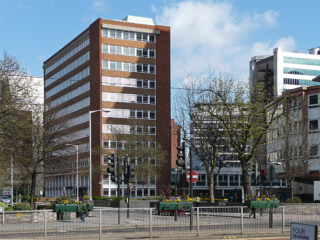
Canterbury House, Sydenham Road
Introduction
The photograph on this page of Canterbury House, Sydenham Road by Stephen Richards as part of the Geograph project.
The Geograph project started in 2005 with the aim of publishing, organising and preserving representative images for every square kilometre of Great Britain, Ireland and the Isle of Man.
There are currently over 7.5m images from over 14,400 individuals and you can help contribute to the project by visiting https://www.geograph.org.uk

Image: © Stephen Richards Taken: Unknown
By T.P. Bennett and Sons, 1963-65. Between the 1950s and the 1970s Croydon experienced a burst of commercial development unparalleled anywhere else in the country. The impetus was provided by the Croydon Corporation Act of 1956 which gave Croydon Council powers to develop land in the borough. A combination of improved roads, government incentives to relocate from, and Croydon's proximity to, central London, and lower rents attracted employers in their droves. By 1970 about six million square feet of office space had been provided in central Croydon. Development has continued since, but at a much slower rate. From a distance the skyline is impressive (the nearest this country comes to Manhattan), but the problem is that few of the buildings are of architectural merit.

