Medlock Valley Way
Introduction
The photograph on this page of Medlock Valley Way by David Dixon as part of the Geograph project.
The Geograph project started in 2005 with the aim of publishing, organising and preserving representative images for every square kilometre of Great Britain, Ireland and the Isle of Man.

There are currently over 7.5m images from over 14,400 individuals and you can help contribute to the project by visiting https://www.geograph.org.uk
Medlock Valley Way
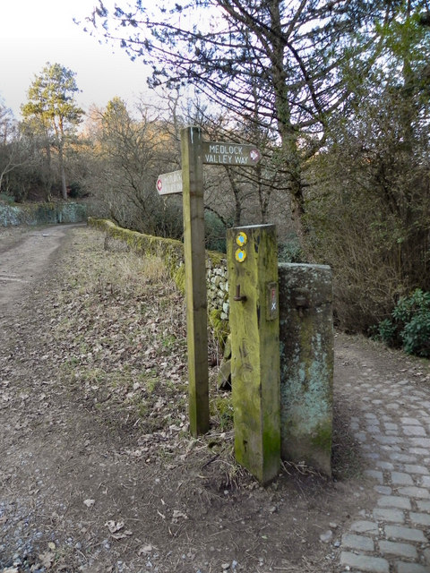
Image: © David Dixon Taken: 28 Jan 2011
The Medlock Valley Way in the Strinesdale Country Park. The lower path (to the left) drops down to the Strinesdale Lower Reservoir whilst the top path passes the upper reservoir.
Images are licensed for reuse under creativecommons.org/licenses/by-sa/2.0
Image Location
Latitude
53.556382
Longitude
-2.06955