Houses in Silk Mills Path, SE13
Introduction
The photograph on this page of Houses in Silk Mills Path, SE13 by Mike Quinn as part of the Geograph project.
The Geograph project started in 2005 with the aim of publishing, organising and preserving representative images for every square kilometre of Great Britain, Ireland and the Isle of Man.

There are currently over 7.5m images from over 14,400 individuals and you can help contribute to the project by visiting https://www.geograph.org.uk
Houses in Silk Mills Path, SE13
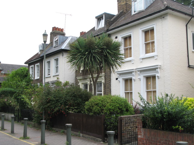
Image: © Mike Quinn Taken: 5 Aug 2009
The Domesday Book (1086) records 11 corn mills along the River Ravensbourne. For the next 800 years the river powered the production of flour - and at times higher value goods such as leather, glassware, armour and silk. Although most - but not all - of the physical traces of the mills have gone, their sites and functions are remembered in names such as Silk Mills Path. More info at http://www.qwag.org.uk/news/arch_722.php.
Images are licensed for reuse under creativecommons.org/licenses/by-sa/2.0
Image Location
Latitude
51.465663
Longitude
-0.011909