Notton Bridge
Introduction
The photograph on this page of Notton Bridge by Christine Johnstone as part of the Geograph project.
The Geograph project started in 2005 with the aim of publishing, organising and preserving representative images for every square kilometre of Great Britain, Ireland and the Isle of Man.

There are currently over 7.5m images from over 14,400 individuals and you can help contribute to the project by visiting https://www.geograph.org.uk
Notton Bridge
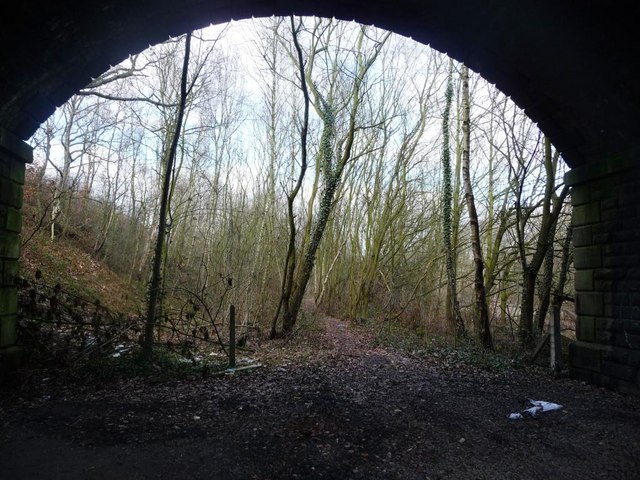
Image: © Christine Johnstone Taken: 28 Jan 2011
The former Middlestown Branch has just diverged from the Midland Railway's Normanton line, which passes under the adjoining arch. The branch closed in 1968 and now forms a path and cycle route to Newmillerdam.
Images are licensed for reuse under creativecommons.org/licenses/by-sa/2.0
Image Location
Latitude
53.614349
Longitude
-1.448837