Cwrt Pantycelyn, Pontllanfraith
Introduction
The photograph on this page of Cwrt Pantycelyn, Pontllanfraith by Jaggery as part of the Geograph project.
The Geograph project started in 2005 with the aim of publishing, organising and preserving representative images for every square kilometre of Great Britain, Ireland and the Isle of Man.

There are currently over 7.5m images from over 14,400 individuals and you can help contribute to the project by visiting https://www.geograph.org.uk
Cwrt Pantycelyn, Pontllanfraith
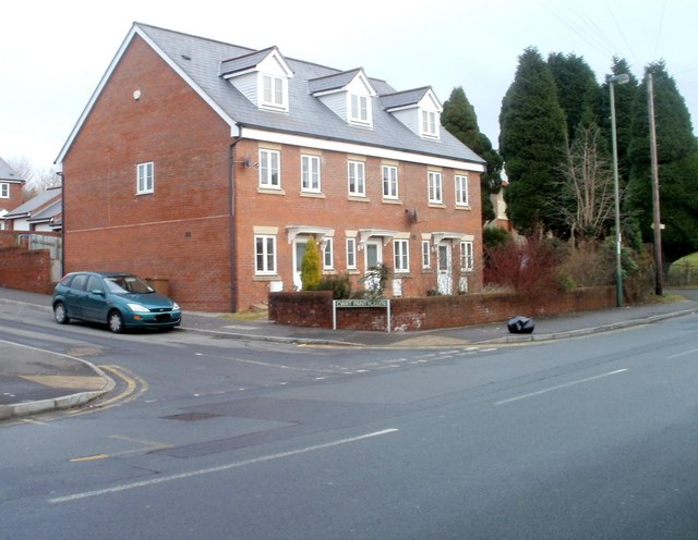
Image: © Jaggery Taken: 23 Jan 2011
Housing built in 2004, located at the SE corner of Cwrt Pantycelyn, a small cul-de-sac on the north side of Newbridge Road.
Images are licensed for reuse under creativecommons.org/licenses/by-sa/2.0
Image Location
Latitude
51.655912
Longitude
-3.18388