A clearing in the woods on a former brickfield
Introduction
The photograph on this page of A clearing in the woods on a former brickfield by Lairich Rig as part of the Geograph project.
The Geograph project started in 2005 with the aim of publishing, organising and preserving representative images for every square kilometre of Great Britain, Ireland and the Isle of Man.

There are currently over 7.5m images from over 14,400 individuals and you can help contribute to the project by visiting https://www.geograph.org.uk
A clearing in the woods on a former brickfield
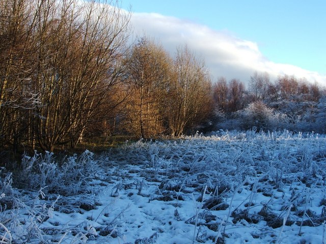
Image: © Lairich Rig Taken: 14 Dec 2010
See Image for the main description of the area. As noted there, most of this flat area, in what was once a brickfield, has been planted with trees. However, there is a sizeable clearing, as shown here. Although it is rather indistinct on the ground, and not apparent in the photograph, a path follows the northern edge of the clearing (the edge that is shown here); at each end of that path, some steps lead to lower ground. To the south-east of this clearing, the ground is much more uneven and deeply pitted; it more clearly shows signs of disturbance from past industry. An irregularly-shaped pool has filled much of that area. The pool is visible from certain parts of the nearby cycle route.
Images are licensed for reuse under creativecommons.org/licenses/by-sa/2.0
Image Location
Latitude
55.950828
Longitude
-4.57793