The Sidings
Introduction
The photograph on this page of The Sidings by Roger W Haworth as part of the Geograph project.
The Geograph project started in 2005 with the aim of publishing, organising and preserving representative images for every square kilometre of Great Britain, Ireland and the Isle of Man.

There are currently over 7.5m images from over 14,400 individuals and you can help contribute to the project by visiting https://www.geograph.org.uk
The Sidings
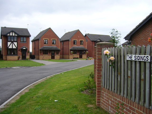
Image: © Roger W Haworth Taken: 15 Aug 2006
Cheadle, Staffordshire. At the end of Station Road and with Pullman Close off it, one does not need to be a student of old maps to guess that this is the site of Cheadle railway station. It was the terminus of a four mile line which stayed independent of the North Staffordshire Railway http://en.wikipedia.org/wiki/North_Staffordshire_Railway#Running_rights_and_other_companies
Images are licensed for reuse under creativecommons.org/licenses/by-sa/2.0
Image Location


Leaflet Map data © OpenStreetMap
Latitude
52.980744
Longitude
-1.992512